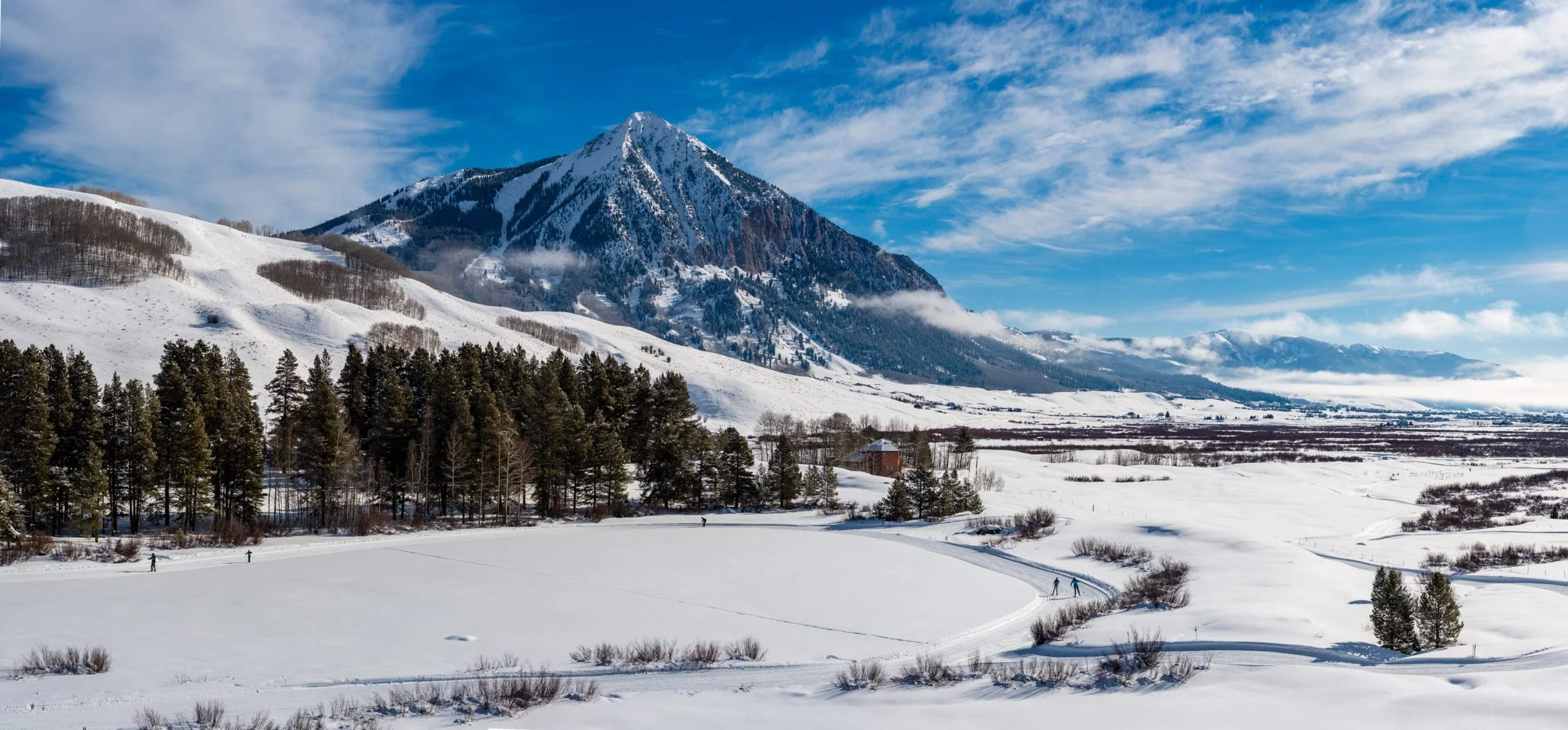
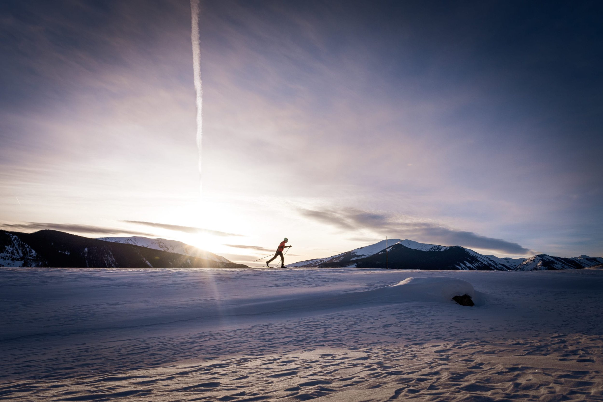
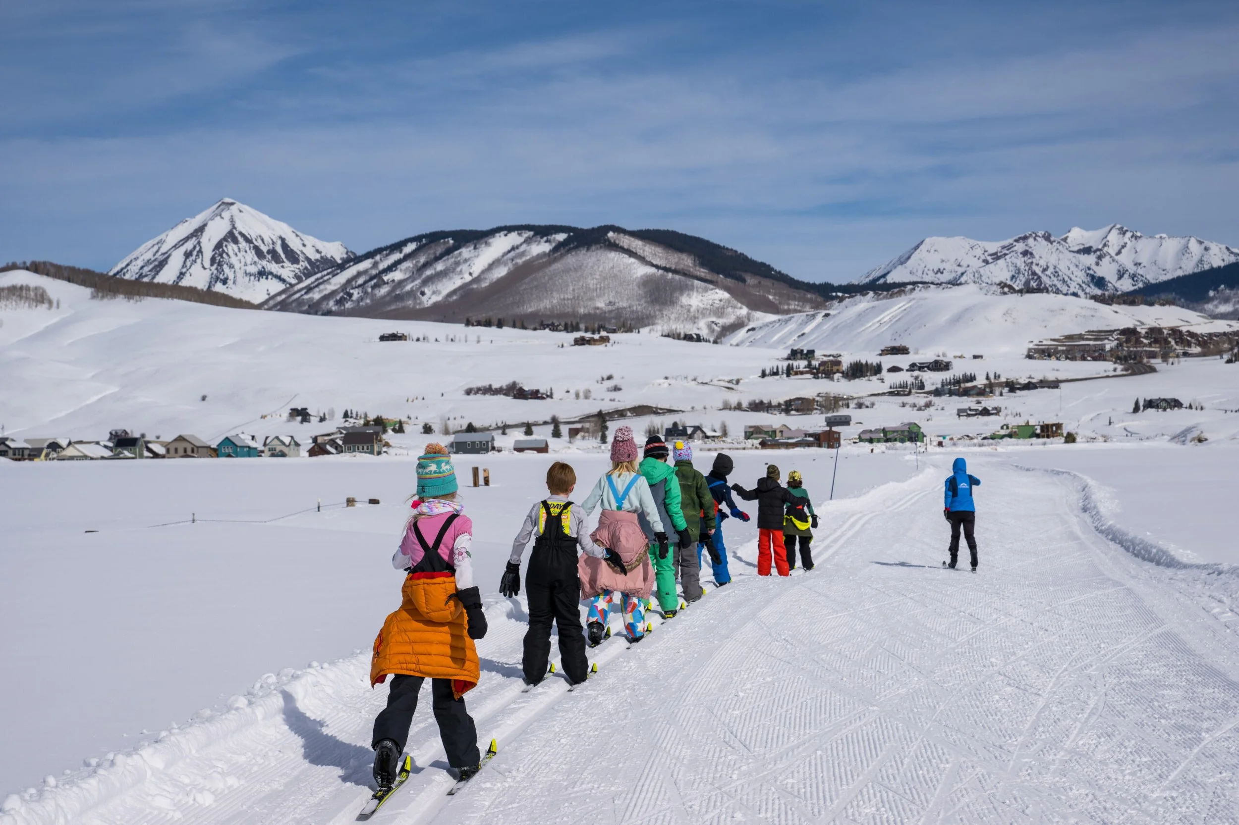
Live Map and Trail Report
Nearly all of our trails are on private lands, and the rules that govern these trails are set by use agreements with these landowners. Please educate yourself on the trail rules, and be sure you follow the allowed uses on each trail. The Nordic Pulse app is a great tool for this! Bikes, dogs, and walking are allowed on some trails, but not all. If you disregard these designations, we risk losing access to trails for everyone. Thank you for helping us maintain access to critical outdoor recreation opportunities for a healthy Crested Butte!
Ruthie’s Run
Ruthie’s Run on The Bench is located behind the Nordic Center in the direction of the summer Green Lake Trail. The trailhead and parking are at the Nordic Center at 620 2nd Street. This terrain features blue and black trails that undulate through the woods. There are some steep hills, but they are all optional, with cut-offs available.
The Bench Trails are best skied in the morning sun or with storms, as the forest offers great protection from the elements.
Ruthie’s Run - 5 km
This FIS (International Federation of Skiing) 5k race course is a beautiful, challenging loop that weaves in and out of the aspen and spruce forest and skirts the base of Gibson’s Ridge. It has some big hill climbs as fast and fun descents. The views on the eastern end of Ruthie’s will take your breath away. The western side of Ruthie’s Run crosses some open meadows, while the rest is tucked in the forest with some great climbs and undulating terrain. This side is more suited for intermediate skiers who are comfortable on their skis and ready for a couple of more advanced hills.
Ruthie’s Run is named in honor of Ruth Humphreys Brown, a native Coloradan who loved the mountains and raised a family of outdoor enthusiasts. Well known for her namesake, “Ruthie’s Run” in Aspen, her true legacy lies in her generosity and in the inspiration she offered to many organizations and people. Ruth’s family hopes that whether you are a competitive racer or a recreational skier, you will thoroughly enjoy skiing Ruthie’s Run. It is one of the most beautiful Nordic trails that you will ever ski!
Town Ranch Connector - 1.3 km
A straight, rolling trail that links The Bench and the Town Ranch loop. From Town Ranch, skiers can access the other East Side trails. On The Bench side, this trail provides access to the Nordic Center and Ruthie’s Run. This trail includes one road crossing over Highway 135 near the community school.
The West Side
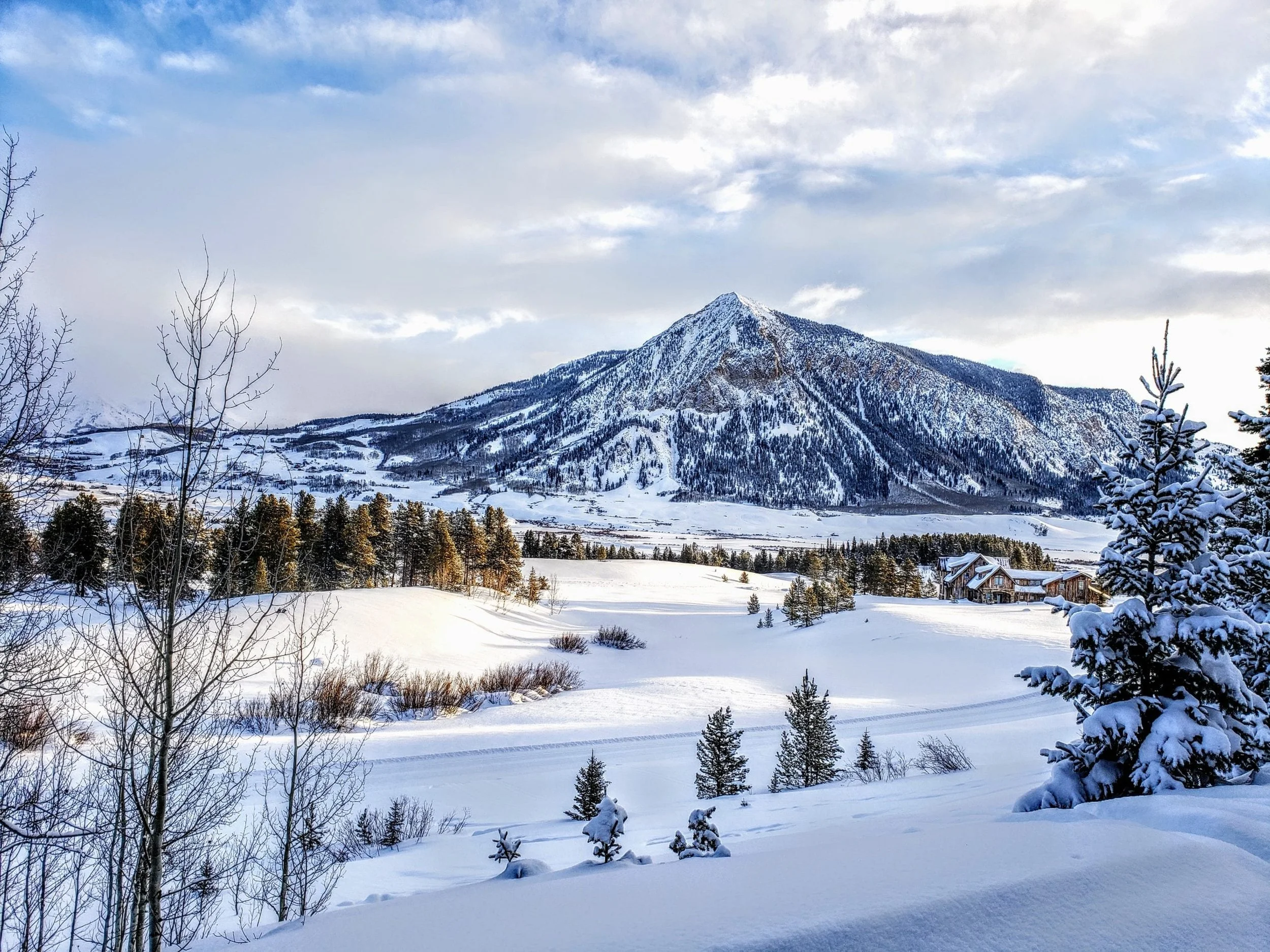
The West Side Trails are located on the West Side of town, surrounding Peanut Lake Road (County Rd. 4). This area offers the most extensive and varied terrain from one trailhead, with green, blue, and black trails available in the meadows and the woods. You can ski right from the edge of town by jumping on the Kapushion Trail behind Butte Avenue. You can also park at two trailheads on Peanut Lake Road, the first is just after Butte Ave. turns to Peanut Lake Road; the second is located next to “the Gronk.” Some trailheads have portable toilets, but most do not. Please plan ahead.
The West Side trails are sunny and warm until early afternoon and then cool down once the sun dips behind Mount Emmons. Magic Meadows offers great protection from the storms.
Red Lady Loop - 3.2 km
With three trailheads, Red Lady is the main starting point for the West Side trails. Whether you’re descending through from the Kebler Pass trailhead or climbing from one of the two trailheads along Peanut Lake Road, this trail provides a good combination of mellow and challenging hills as it crosses open meadows and ducks into the Woods Walk, and aspen grove above town.
Pooch’s Paradise - 3 km
Our longest dog trail, Pooch’s Paradise starts from the first or second Peanut Lake trailheads and heads all the way out to Magic Meadows and Mike’s Mile. It is mostly a flat or gently undulating trail with a couple of bigger climbs.
Beaver Trail - 1.8 km
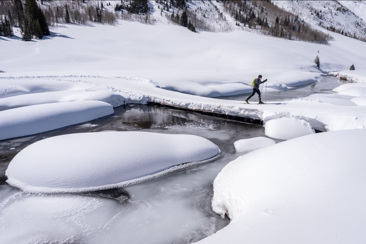
The Beaver Trail is a mostly flat trail that winds its way through the willows of the Slate River. It’s a great trail for warming up before hitting the more challenging Magic Meadow’s Trails.
Magic Meadows - 4.6 km
The busy Lower Loop in the summer is transformed into a quiet refuge in the winter. Keep an eye out for fox, snowshoe hare, and other woodland critters who are likely to be your only company early in the day. These are some of our premier trails, hidden from winter’s winds and winding back and forth, in and out of evergreen forests. It also leads to our cozy trailside yurt where one can sit on the sunny deck and enjoy lunch. At the north end, you can link up with Paradise Park for challenging hills, or check out the further reaches of the Slate River Valley via Mike’s Mile.
Paradise Park - 1 km
Some of our hilliest terrain, on Paradise Park you’re always headed either up or down. This great little addition to Magic Meadows offers some terrific sustained climbs and curvy descents that keep experienced skiers working hard and on their toes.
Mike’s Mile - 2.3 km
Mike’s Mile is an out and back trail that really is an extension of Pooch’s Paradise. It takes skiers and their four-legged friends all the way out the Slate River Valley to Gunsight Bridge. Mike’s Mile closes during storm cycles when avalanche danger is high. Mike’s Mile closes to dogs when moose are in the area.
G.B. Loop - 1.8 km
Accessed from the end of Mike’s Mile, the G.B. Loop offers a challenging climb and fast downhill in either direction. The G.B. Loop also closes when avalanche danger is high.
Kapushion Alley
CB Nordic grooms a track on the town-owned Kapushion parcel, parallel to Butte Ave. and Ruth’s road. This section is free and open to all non-motorized uses just like Town Ranch.
The East Side
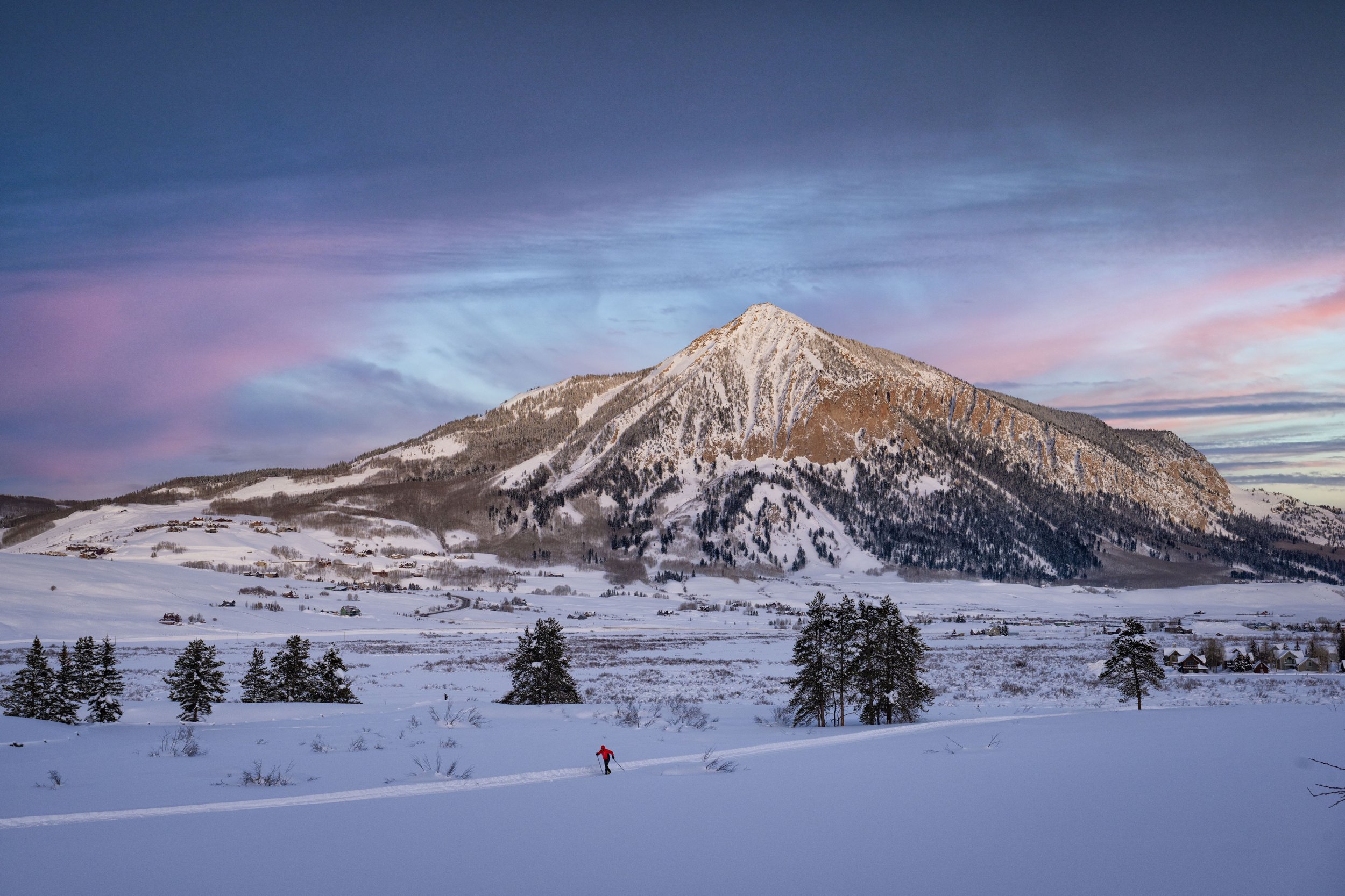
The East Side Trails are located on the East Side of Crested Butte in the valley between town and Mt. Crested Butte. The trailhead and parking are located at Town Ranch, just behind the school on 9th Street. This area offers green trails in the valley bottoms, blue trails that climb up to Mt. CB, and our steepest black trails on the flanks of Mt. CB. Dogs, bikes, and walking are welcome at the Town Ranch and on the Rec Path, but it is very important they stay off the other trails in this area.
You’ll find the best late afternoon skiing here as they get sun longer in the day.
Town Ranch - 3 km
Dogs need the fresh air and exercise just as much as we do, so we groom the Town Ranch, a mellow loop for our four-legged friends. It is free for people and dogs! Fat bikes are also allowed on Town Ranch.
Riverbend Trail - 2.5 km
An easy trail that connects the Riverbend community with the Town Ranch. Provides ski-in access to town from Riverbend and also is the connector to the Skyland Loop. Dogs and fat bikes are also allowed on the Riverbend trail, no passes required.
Tony’s Trail - 1.1 km
This flat, winding trail takes skiers from the Town Ranch trailhead to the Maze, Middle Earth, and Mordor, or to the turnoff to Skyland. It is a beautiful path along the Slate River Valley.
Skyland Loop - 2.5 km
This is an intermediate trail that takes off from Tony’s trail and heads through the golf course around the Skyland residential community. It’s a steady climb and a fun downhill coming back to Tony’s.
The Maze - 1.6 km
The Maze is Crested Butte’s best beginner terrain. The small loops make for great technique training, or if you’re going for a longer ski, use the Maze for your warm-up and cool-down before heading up to Middle Earth, Mordor, and the Rec Path.
Middle Earth - 1.9 km
Middle Earth puts you right there: in the middle of the ridge between Mt. Crested Butte and town. It’s a rolling trail that loops out towards Skyland and back towards the Rec Path. Great for intermediate skiers, or ski just a section of it to practice getting comfortable on hills.
Mordor - 3.2 km
The steepest and hilliest of the trails around Crested Butte, Mordor lives up to its Lord of the Rings name. Mostly long, steady uphills that wind up the lower flanks of Mt. Crested Butte, this Nordic trail travels on the summer’s Upper Loop trail. At it’s furthest South point it drops steeply into the gulch. Whether going up or down, it’s a doozy– be prepared for a short, difficult climb or a harrowing descent till you take a hard right in the willows at the bottom.
Perched on the Rec Path between Crested Butte and Mt. Crested Butte, Rudy’s Rollers is a loop at the North end of the Nordic trails on the East side of town. Whether you’re hammering up the hills or quick-stepping around the curves on the descent, the Rollers are aptly named for their smooth, rolling terrain. Surrounded by vistas of Whetstone, Red Lady, Snodgrass, and Mt. Crested Butte, this open meadow affords beautiful views in every direction.
The Rec Path - 3.5 km
Gulch Connector - 0.5 km
A short, flat trail between the Town Ranch trailhead and the Rec Path. This trail passes through Western Colorado University research land. No dogs!
Rudy’s Rollers - 1.5 km
This trail offers spectacular views of the Valley. The first part of the Rec Path, nearest to town, is flat, then as you head North the trail starts a steady uphill climb until it approaches Mt. Crested Butte. It connects to Rudy’s Rollers and the Gulch Connector toward the Maze. Start to finish, the trail is 3.5 kilometers, so be sure to turn around whenever you are ready. The Rec Path is open to fat bikes as well. Dogs are allowed, but must be leashed.
Teocalli Connector - 0.9 km
A short, steep stretch of trail that links the Maze to the Rec Path. Take it down cautiously - it crosses a bridge before sweeping to the right, back down valley.
